
Tropical cyclone could hit Madagascar
An area of showers and thunderstorms continues to move across the Mozambique channel, just west of Madagascar. This area of showers and thunderstorms has become better organised and could become a tropical cyclone late Thursday as it moved southeastward over the warm ocean waters.
After developing, the cyclone is expected to continue its southeastward movement and approach southwestern Madagascar late Thursday into Friday.
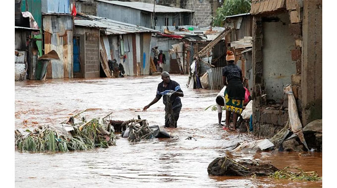
The centre of the cyclone will more than likely remain offshore; however, heavy rain and some gusty winds could impact southwestern Madagascar, leading to the threat of flooding.
In Morombe, on the southwest coast of the island, over 200mm of rain fell in the last two days. The city also reported a wind gust of 91km/h on Thursday.
By later Friday, the cyclone will race southward over the open ocean with no future impacts on any landmass before being absorbed into a large storm system over the southern Indian Ocean. — AccuWeather.com

You Might Also Like
-
Mukudzei Chingwere in TEHRAN, Iran VICE President Dr Constantino Chiwenga yesterday met Iranian President Ebrahim Raisi for bilateral talks as Zimbabwe continually seeks global economic synergies in traditional and emerging markets. The meeting was held on the sidelines of the Iran-Africa International Economic Conference which the VP is attending together with Government representatives from across […]


Agriculture Journal

Comments