Billing scandal bleeds council . . . • Over 30 000 properties not on database • Illegal connections cited

Innocent Ruwende Senior Reporter
OVER 30 000 Harare properties are not on the city database, prejudicing council of millions of dollars in potential revenue.
The property owners have reportedly illegally connected themselves to piped council water.
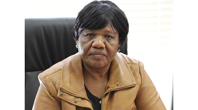
Acting town clerk Mrs Josephine Ncube confirmed the development in an interview yesterday.
Related articles…
She said council discovered the anomaly through its Geographic Information Systems which captured 250 000 properties in Harare of which 30 000 are new properties whose owners have not been paying rates to council.
City of Harare embarked on the GIS programme in 2014 with the help of its sister cities of Munich (Germany), eThekwini (South Africa) and City of Bulawayo under a project titled ZIGESA which stands for Zimbabwe Germany and South Africa.
“The GIS works through gadgets which enable one to pick the number of properties in an area and other information in an area without moving from area-to-area. It can capture, store, manipulate, analyse, manage as well as present spatial or geographical data.
“We can capture all properties so we can identify whether they are on the city roll or not. It has helped us to identify properties which were using our water illegally. They illegally hooked themselves up on our water and we have been able to deal with them to make sure that they regularise and start paying for the water they had been getting.”
ZIGESA, she said, came to an end last year, but the city was continuing with funding directly from the German Government.
She said the city has managed to capture more than 250 000 properties on its database and the programme is still ongoing.
Mrs Ncube said council used to have 220 000 properties on its database, but the numbers continue rising.
The city will be extending the programme to new areas like Caledonia and Hopley.
“This is intended to make sure that we know exactly how many people are using our services starting with properties in Harare, capturing also the water distribution network in a detailed manner. It can actually show us from the office whether it is a water main or whether it is smaller pipe.
“In terms of the water distribution network we have managed to capture most of the water mains and we are now proceeding to capture the branch network and we are hoping that in the next two years we would be able to capture all our data and information electronically,” she said.
She said the city was looking forward to better planning in terms of service delivery and ensuring that for purposes of decision making the actual numbers of properties in the city are captured.
Mrs Ncube said council can now monitor illegal developments in the city using the GIS.


Comments